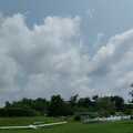
On Friday in the afternoon we prepared (rigged) the gliders for the weekend: we knew that the weather will be very nice both days so it was obvious that this great occasion shall be used. As expected, a lot of pilots had the same idea and there was also a competition (Coppa Cittá di Varese & Campionato Italiano di Classe Open) at our airfield so finally I decided to take-off before them, around 11 am in the morning. I was worried about the initial conditions: well, it was a bit difficult to find the first thermal but the other gliders helped me to find the first lift.
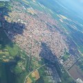
As I knew that high cloudbase and finally no wind was expected, I decided to try a declared 300 km task with the following waypoints: Orino Chiesa - San Domenico - Corni di Canzo - San Domenico - Orino Chiesa. After reaching the max. altitude at Campo dei Fiori, I went to Mt. Nudo and I started the task. It seemed to be a really strange and not so wise choice: I heard that everyone went to the east, and not to the west so I was searching alone for a thermal. The conditions were not very good yet, I was around 1250-1300 m. But that weak thermal got stronger with time and I found myself at 2100 m. I crossed the lake and a nice cumulus was expecting for me at Albergone: 2720 meters! It was not a bad choice to go in this direction?!
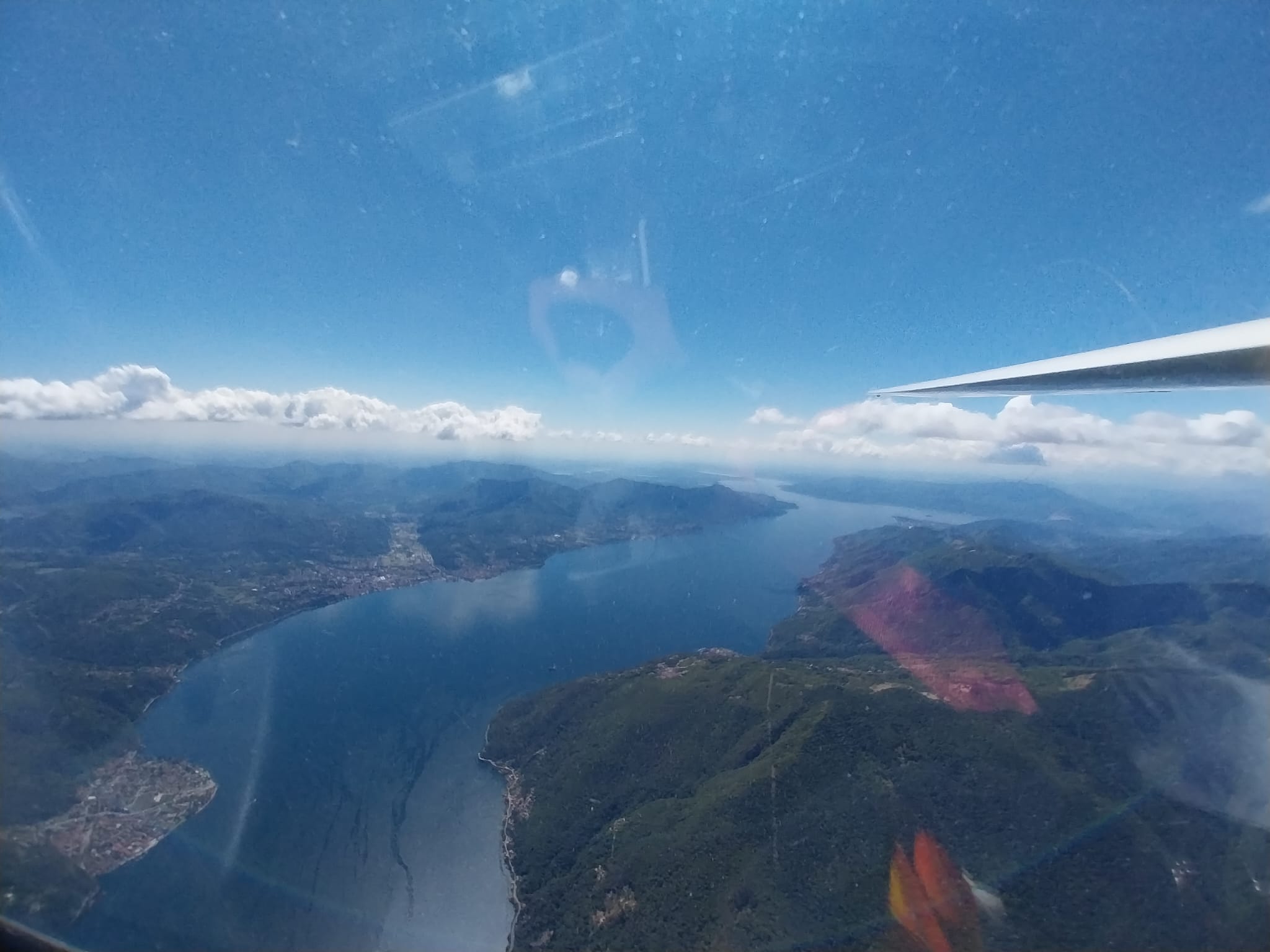
At Mt. Limidario I usually get blocked a little bit because this is the point where I make the decision to enter to the Cento Valley. After crossing the valley I was around 2400-2500 m, but I was quite positive: I will find good lifts here! And it was like that, I was searching for those spots where I saw the sun and I reached the wonderful altitude of 3000 m. And even more! I was nearly at 3400 meter when I turned at the first waypoint. I was as careful as never before: I zoomed well in the map in XCSoar and touched in the FAI quadrant. Let's go to the next waypoint which is 100 km far from me, and already two hours passed. I started to feel at this point that this could be THE DAY when I really do the declared 300 km task: excellent conditions and as I took off very early I had the time to do this distance with an average speed of 50 km/h.
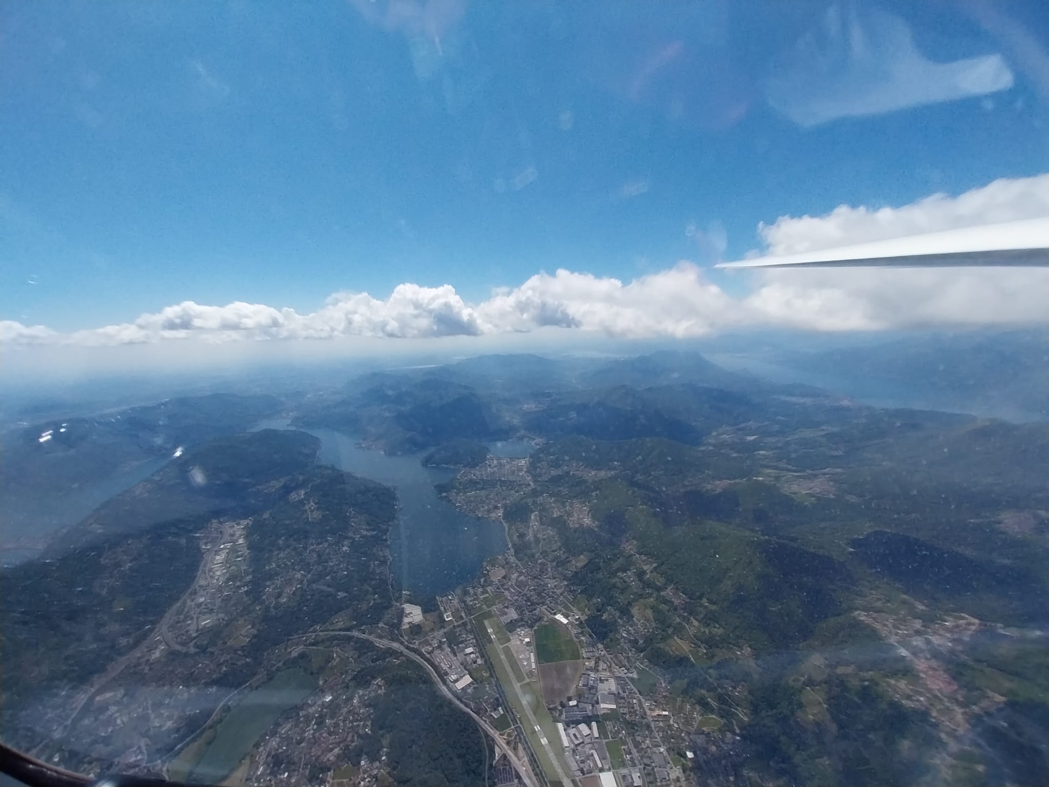
I was quite fast until Mt. Lema because I knew that I can lose altitude going in the direction of the 2nd waypoint: Corni di Canzo is situated in the "pedemontana" region, near the city of Lecco where the cloudbase for sure won't be around 3300 meter. At Mt. Lema from 2200 m I went to 2700 m to cross above the CTR of Lugano and arrive near Mt. Generoso. The cloudbase was 1000 m lower than in the high mountains, around 2300 m. But that is fantastic for this zone! Mt. Palanzone, Cornizzolo, Corni di Canzo: 3 hours passed and I touched the 2nd waypoint.
This was the moment when I realized that I really have the chance to do it and I need to be careful now to avoid mistakes. It was a good choice to search for a thermal at the north of Mt. Generoso because I nearly reached 2700 m and I crossed again the CTR to arrive to Mt. Lema. This mountain always functions very well: I did 2550 m and returned to Mt. Limidario and tried the spot which was recommended to me by other, more experienced pilots. Good idea, it worked well.
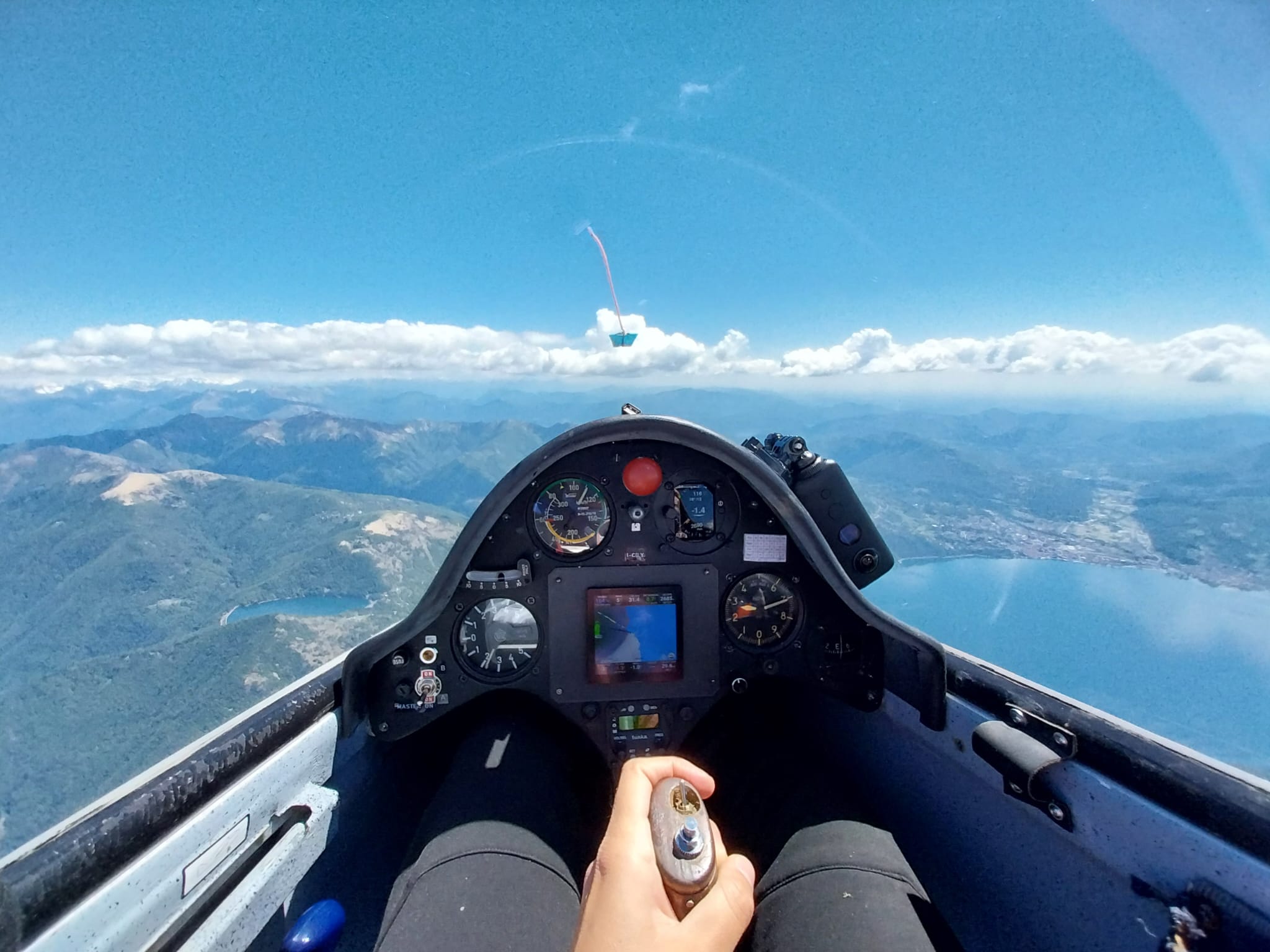
I was near the airfield of Masera when I met the first real difficulty: probably the valley was too covered and the thermals got weaker - and also the N wind did not help at this altitude (20-25 km/h). I was at 2600 m and I did not want to cross the valley with this altitude because my distance from the waypoint was nearly 20 km. I saw an other glider circling above a very low mountain - but the cumulus was nice there so I followed him. I reached 3080 m and I crossed the valley. Pizzo Diei (2900 m) was beautiful, covered with a lot of snow - well, less beautiful the downwind. But anyway, I cannot give up now, even if I lose a lot of altitude, I swear that I will touch the waypoint and if needed land at Masera airfield. I found myself under 2500 m after reaching the WP but in the middle of the valley a great lift helped me again. 3000 m, and then at the end of that little valley: 3250 m. Done!
I wanted to pay the maximum attention during my return also, I could not make any mistakes, the goal was so close. I did one more thermal at Mt. Limidario (reached 2700 m, the cloudbase got lower here) and I crossed Lago Maggiore. That was the moment when I let myself to believe that I did my first 300 km with my ASW15, I let myself to cry some tears of joy. I was so nervous when I closed the task at Oriono Chiesa: I did circles above the last waypoint in every direction.
6 hours 30 minutes, landed after 5 pm at Calcinate: I could not feel my feet from the cold and the long time spent in my glider. But how much resistance, determination, passion behind this achievement, what a long journey to arrive here. But this is not the finish line - only new targes to reach!
If you want to see my flight on OLC/weglide, you can find it here:
335 km · Adrienn Kiss · Calcinate del Pesce 05/17/2025 (weglide.org)
OLC Flight information - Adrienn Kiss (HU) - 17.05.2025 (onlinecontest.org)